All projects

Garu-City

A platform connecting the services of a smart city.

PlatformsIn development

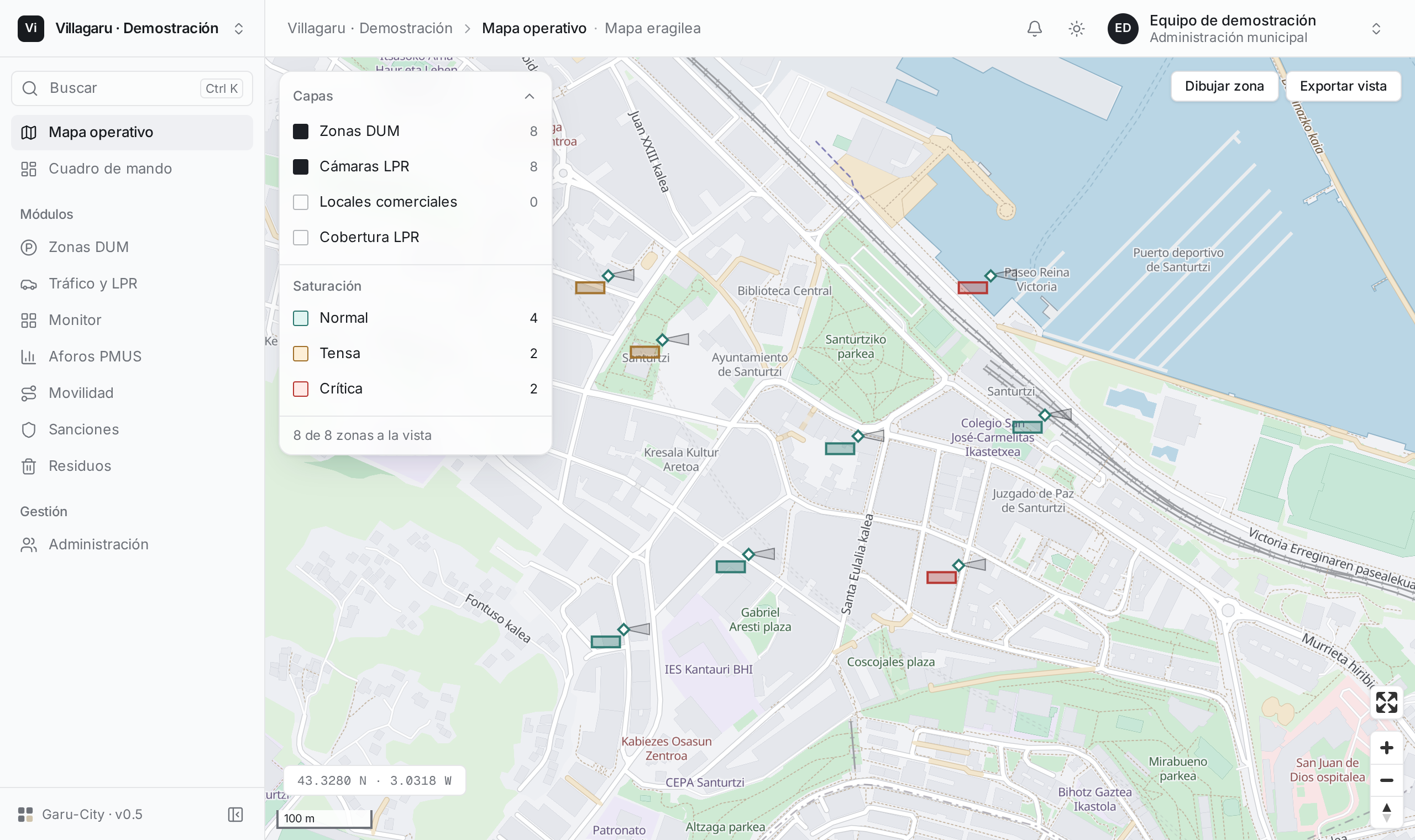
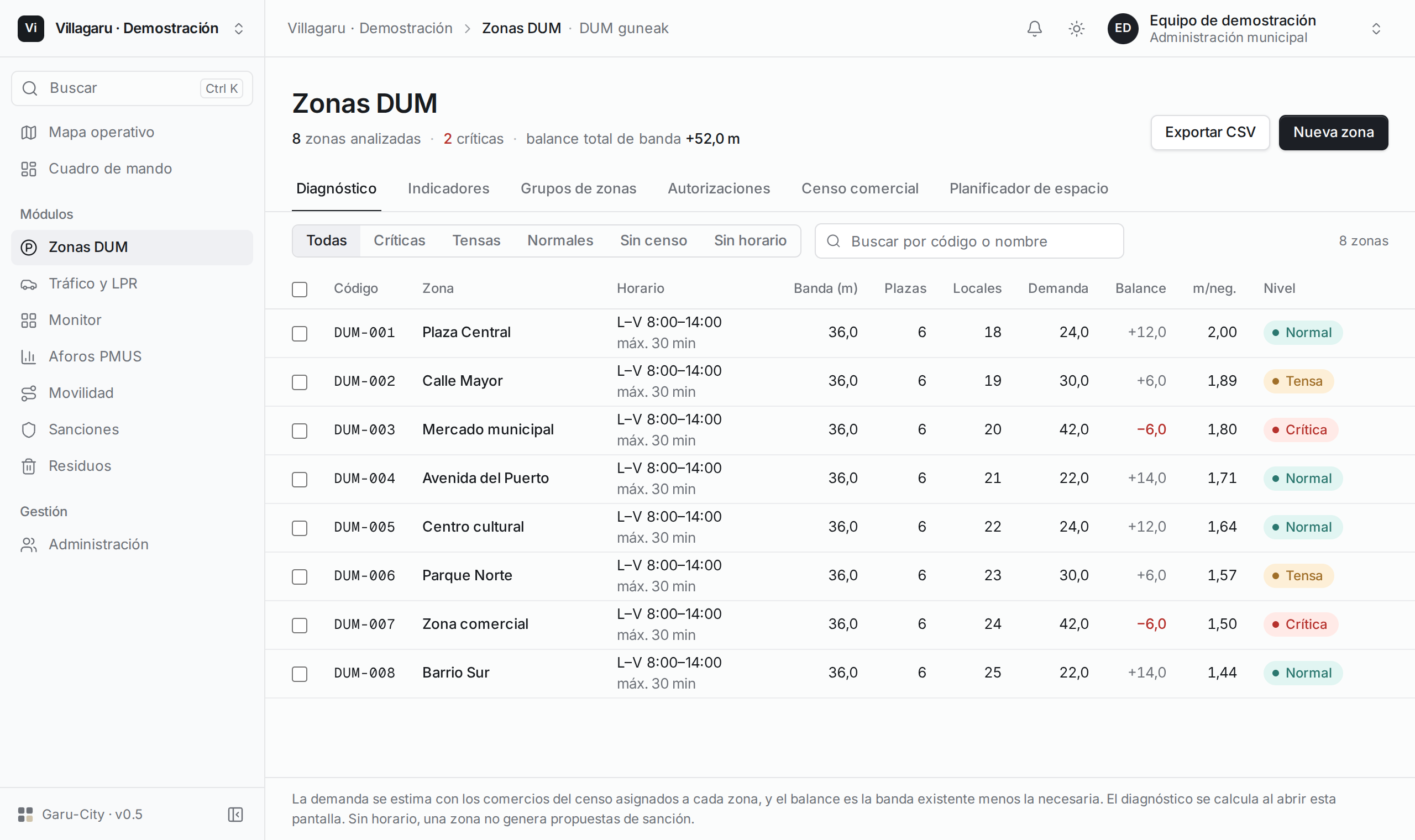
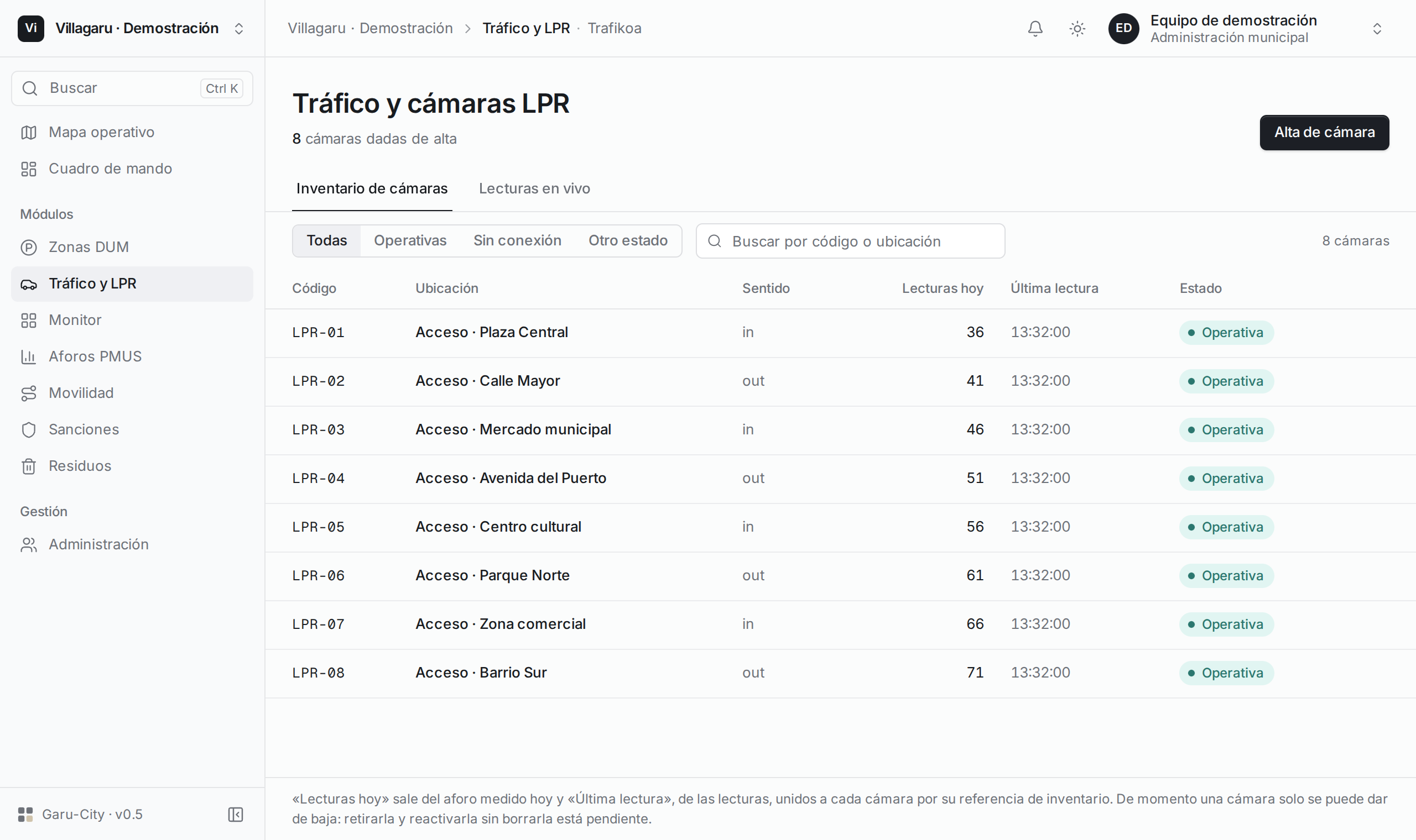
Modular platform for city councils: mobility, traffic, license plate recognition, fines, and urban services share a geospatial database and an operational map.

The problem

Municipal departments need to work with territorial data and field hardware while keeping each organization’s records strictly segregated.

The solution

Multi-tenant architecture with a Go API, PostgreSQL, and PostGIS. Telemetry is processed asynchronously with NATS JetStream and displayed on a React interface with MapLibre.

Core capabilities

  • Department-level modules and granular data permissions.
  • Geospatial map for urban services and traffic mobility.
  • Telemetry ingestion and distributed event processing.
  • Shared OpenAPI contract between Go API and frontend.

How it works

An interactive map coordinates field devices, municipal departments, and geospatial data.

Select a part of the architecture map to learn about its role.

Devices & Territory

The platform ingests field telemetry and works with GIS layers. Each municipal department has dedicated modules and permissions.

Services & Events

The Go backend coordinates municipal microservices. NATS JetStream enables reliable asynchronous telemetry processing, decoupling ingestion from analytics.

Geospatial Database

PostgreSQL and PostGIS persist system state and spatial geography. Multi-tenancy keeps records strictly segregated between organizations.

Operational Workspace

The UI unifies layers, field hardware, and city workflows on an interactive map. A shared OpenAPI specification connects frontend with backend services.

Looking for someone like this?

Let's talk about your engineering team and the software you need to build.

Email me