All projects

Waste Management

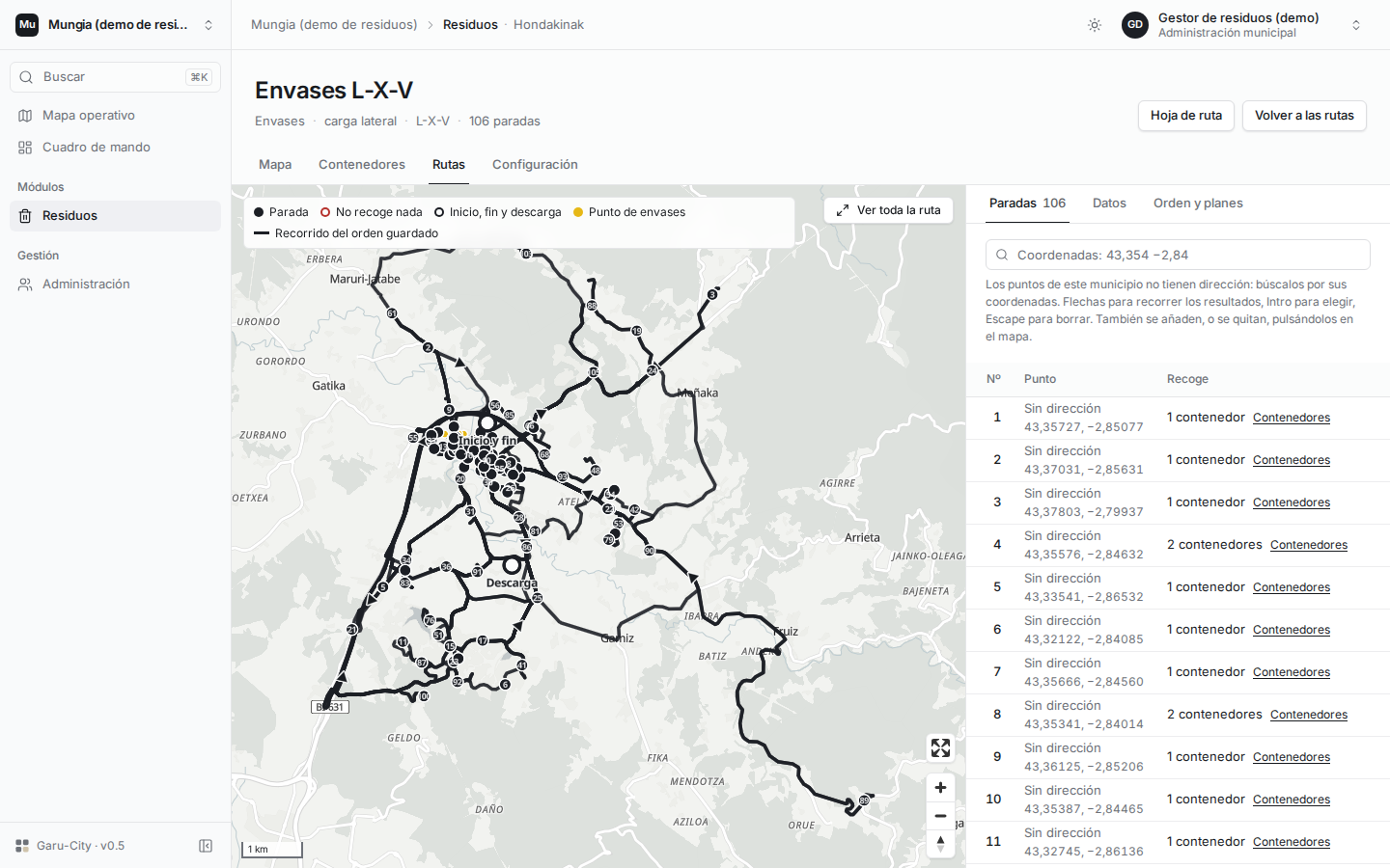
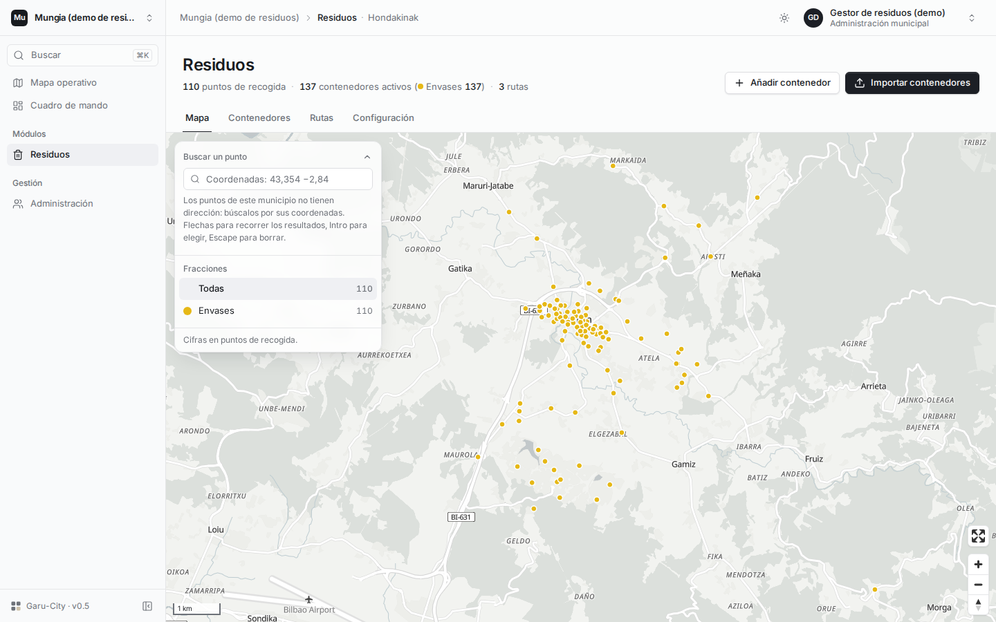
Container inventory and waste collection route planning on a map.

ManagementModule in development

Garu-City waste management module to inventory containers, plan collection routes, and audit sanitation services.

The problem

Sanitation services need to coordinate containers, access restrictions, and vehicle routes against available resources and field service incidents.

The solution

Design and validation of a geospatial module integrated into the smart city platform. Route optimization utilizes OSRM and VROOM; the repository houses architecture documentation and integration tests.

Core capabilities

  • Geolocated container and fraction inventory.
  • Route and access constraint planning.
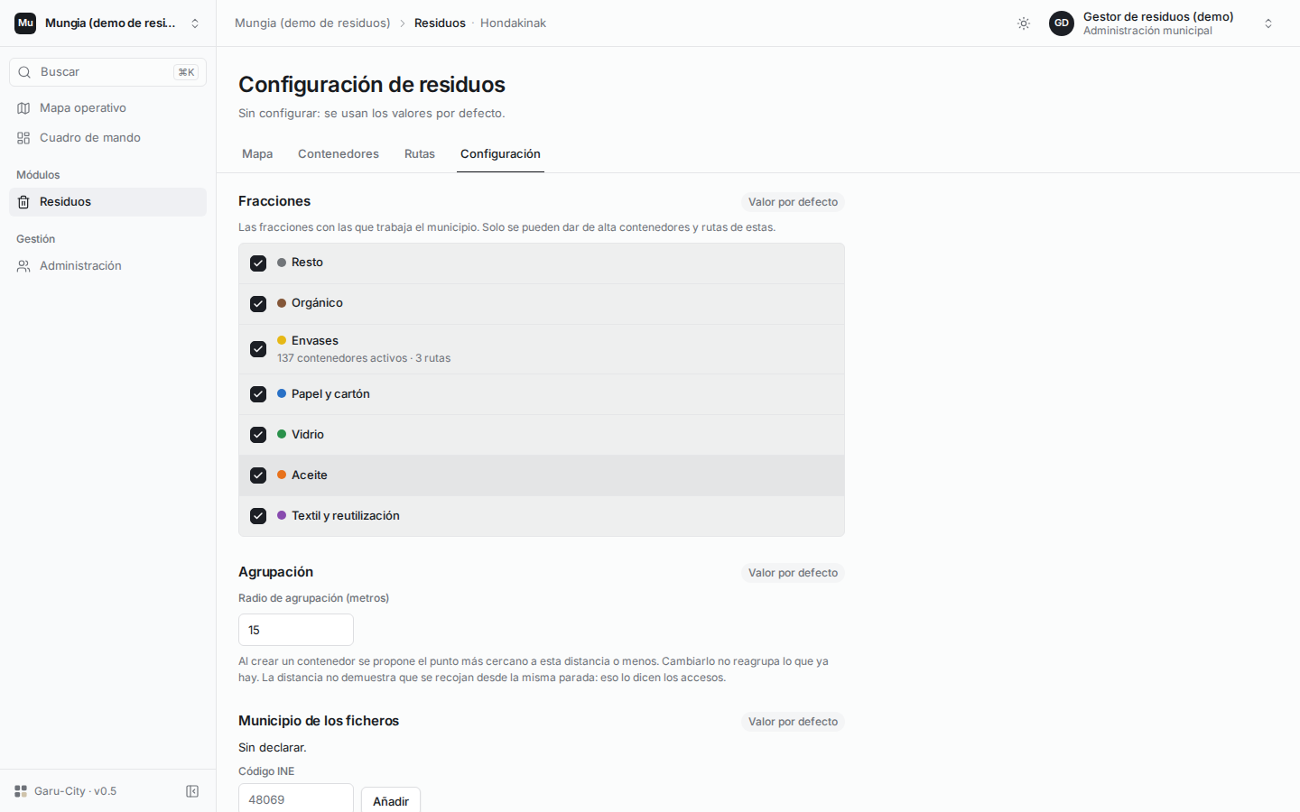
  • Configuration of service exclusions and joint routes.
  • System design, research, and integration testing.

How it works

Geographical container inventory connects with Garu-City route planning algorithms.

Select a part of the architecture map to learn about its role.

Collection Points

The inventory positions waste containers and waste types on the map. Planning incorporates street access constraints, vehicle limits, and exclusions.

Routing Algorithms

Research and prototype tests leverage OSRM and VROOM to optimize collection routes. The repository documents the architectural integration.

Geospatial Core

The module integrates directly into the Garu-City spatial architecture, linking physical sanitation hardware with city operations.

Interactive Map Planner

The demo interface visualizes container locations and computed routes. Operators inspect stop sequences, vehicle clearances, and service options.

Looking for someone like this?

Let's talk about your engineering team and the software you need to build.

Email me